Make this Notebook Trusted to load map: File -> Trust Notebook
Le Moléson - Châtel-St-Denis
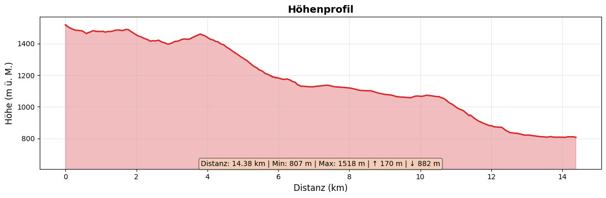
Allgemeine Angaben
| Start | Plan-Francey |
| Ziel | Châtel-St-Denis |
| Strecke | 14.5 km |
| Aufstieg | 180 m |
| Abstieg | 890 m |
| Marschzeit | 3 h 45 |
Die Karte auf der Website von swisstopo.ch oder in der Mobile App von swisstopo öffnen.
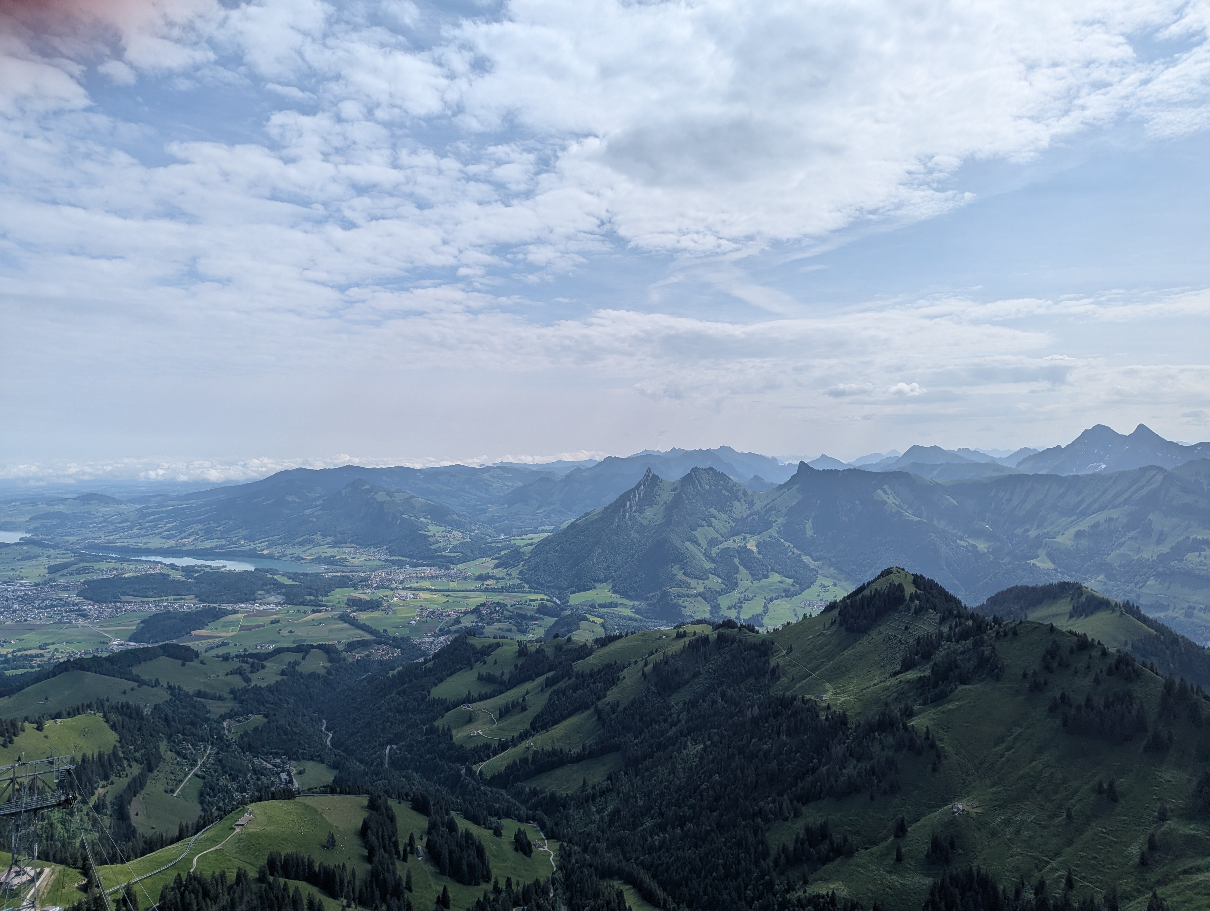
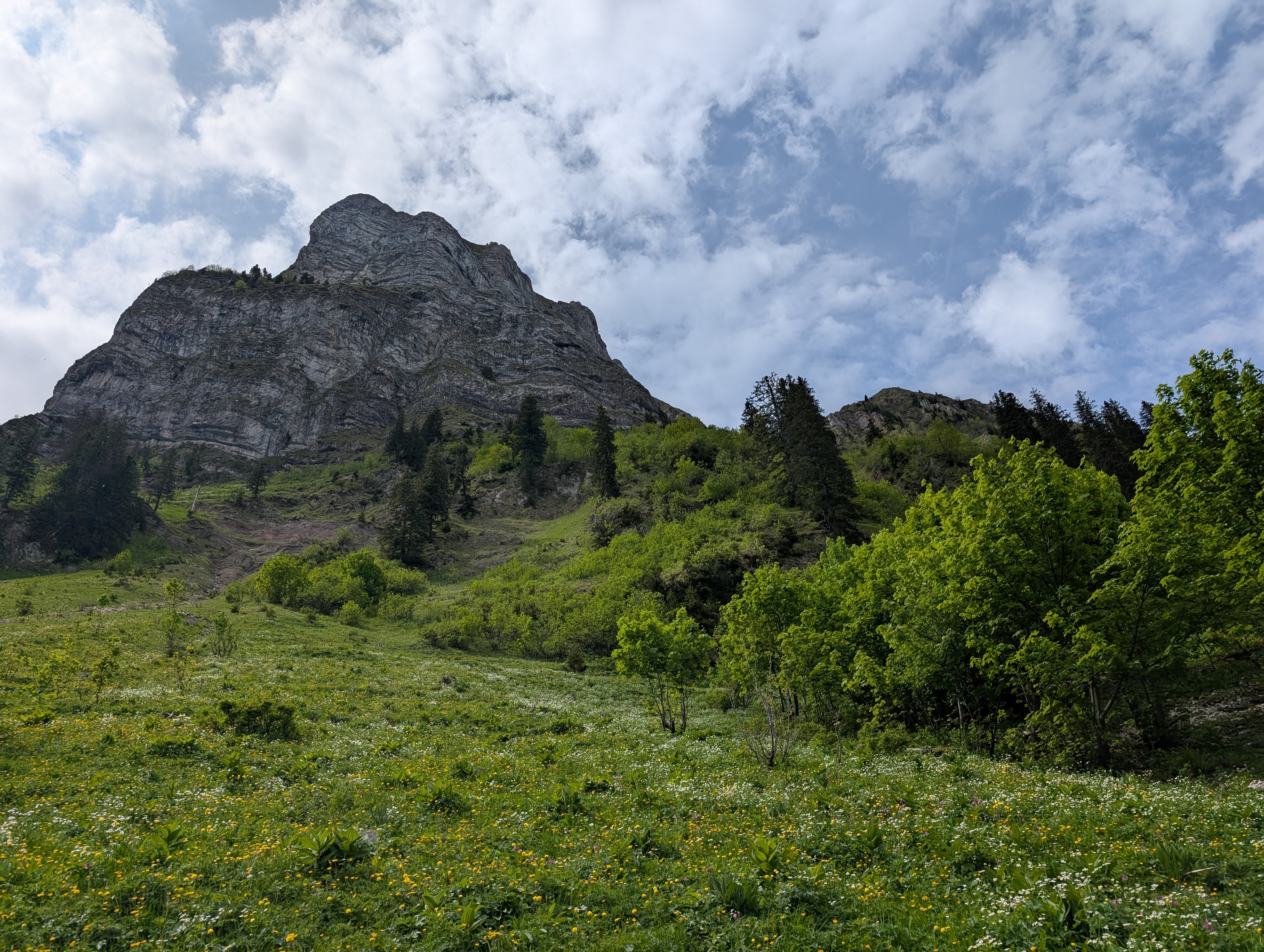
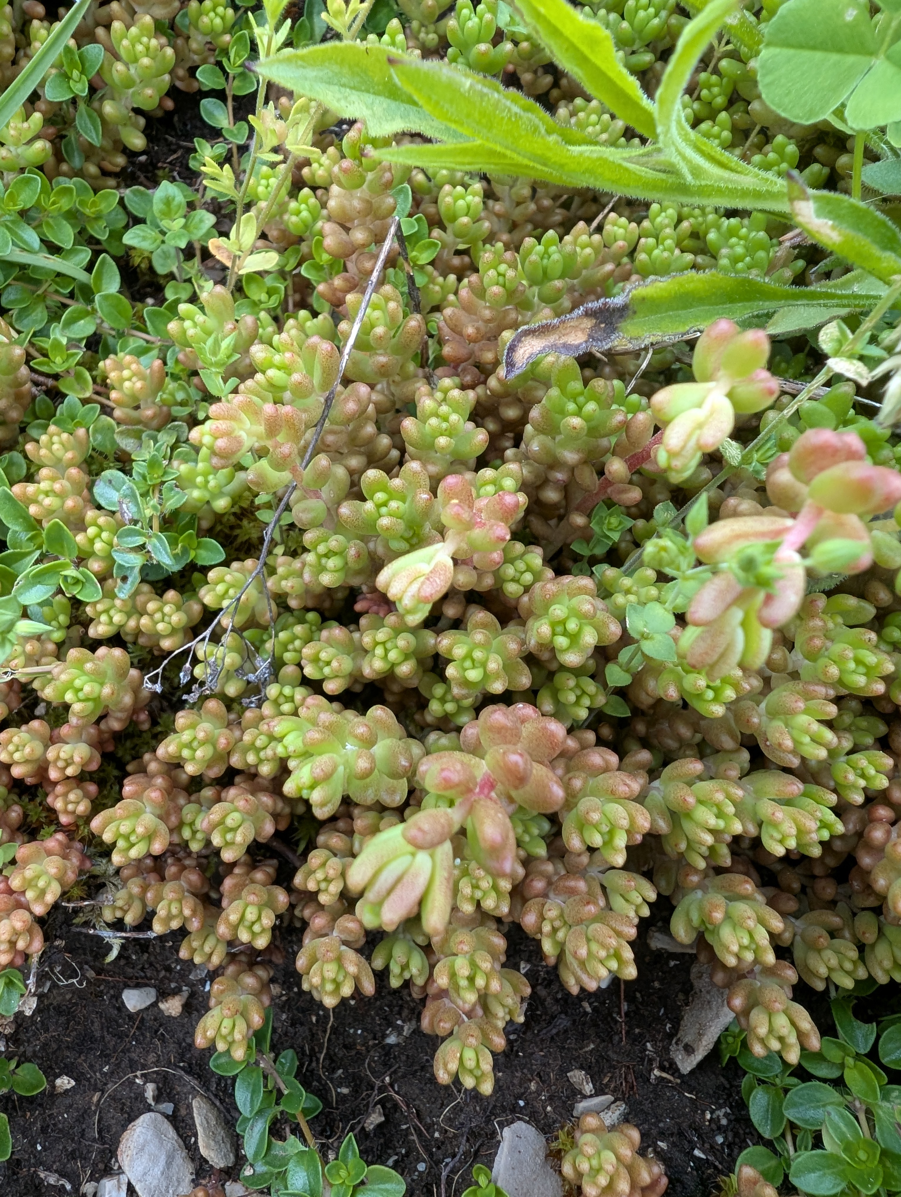
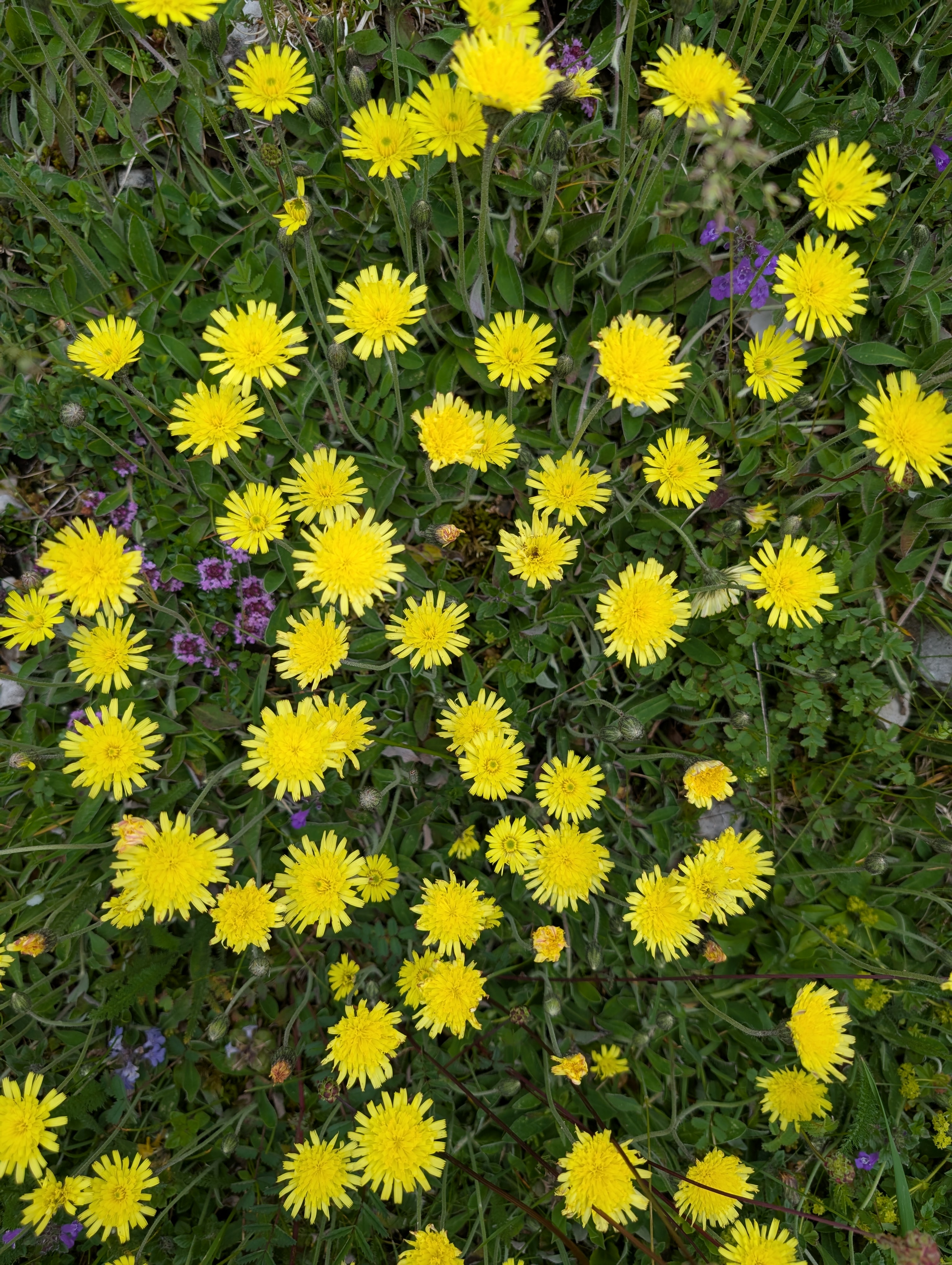
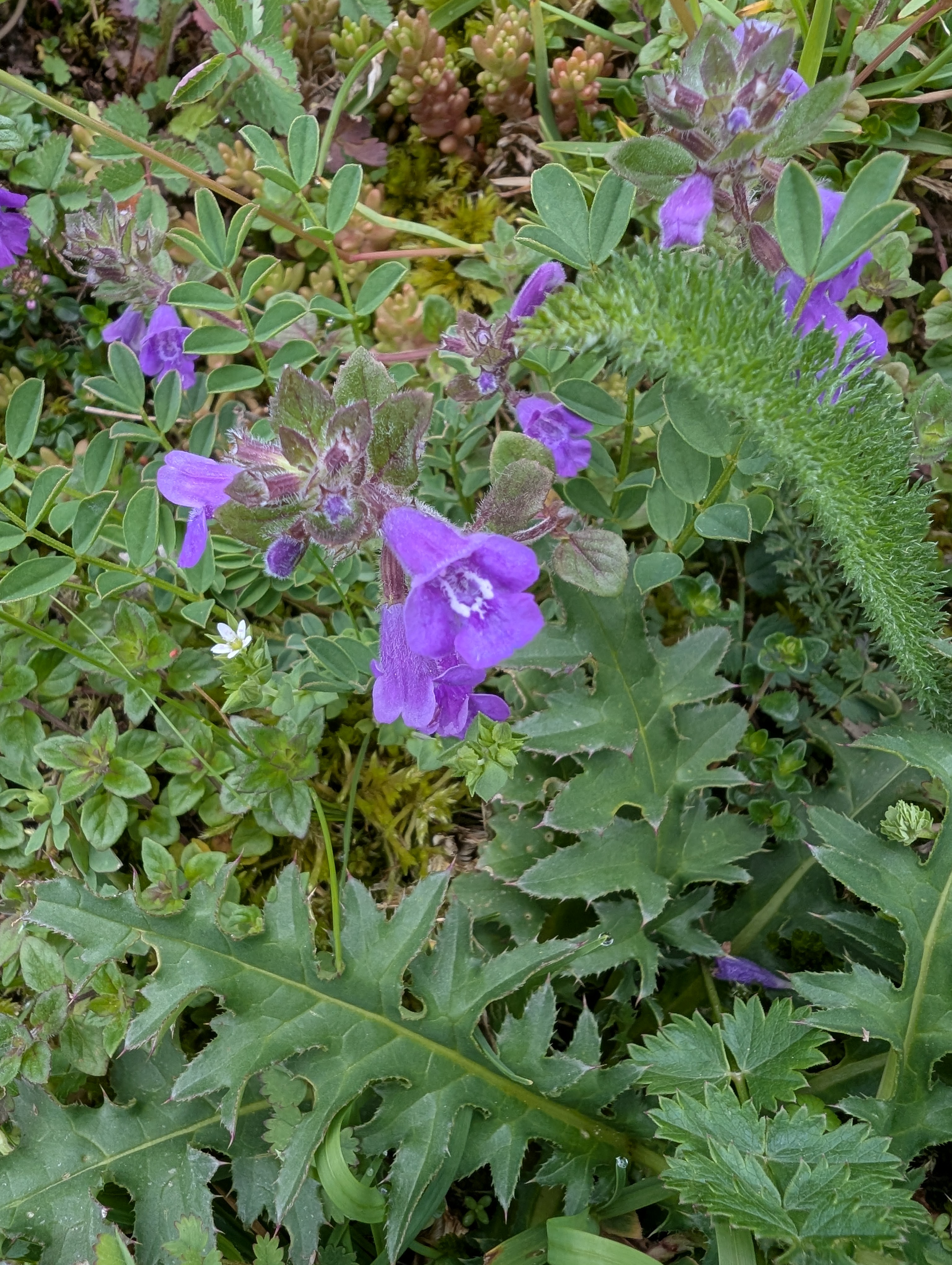
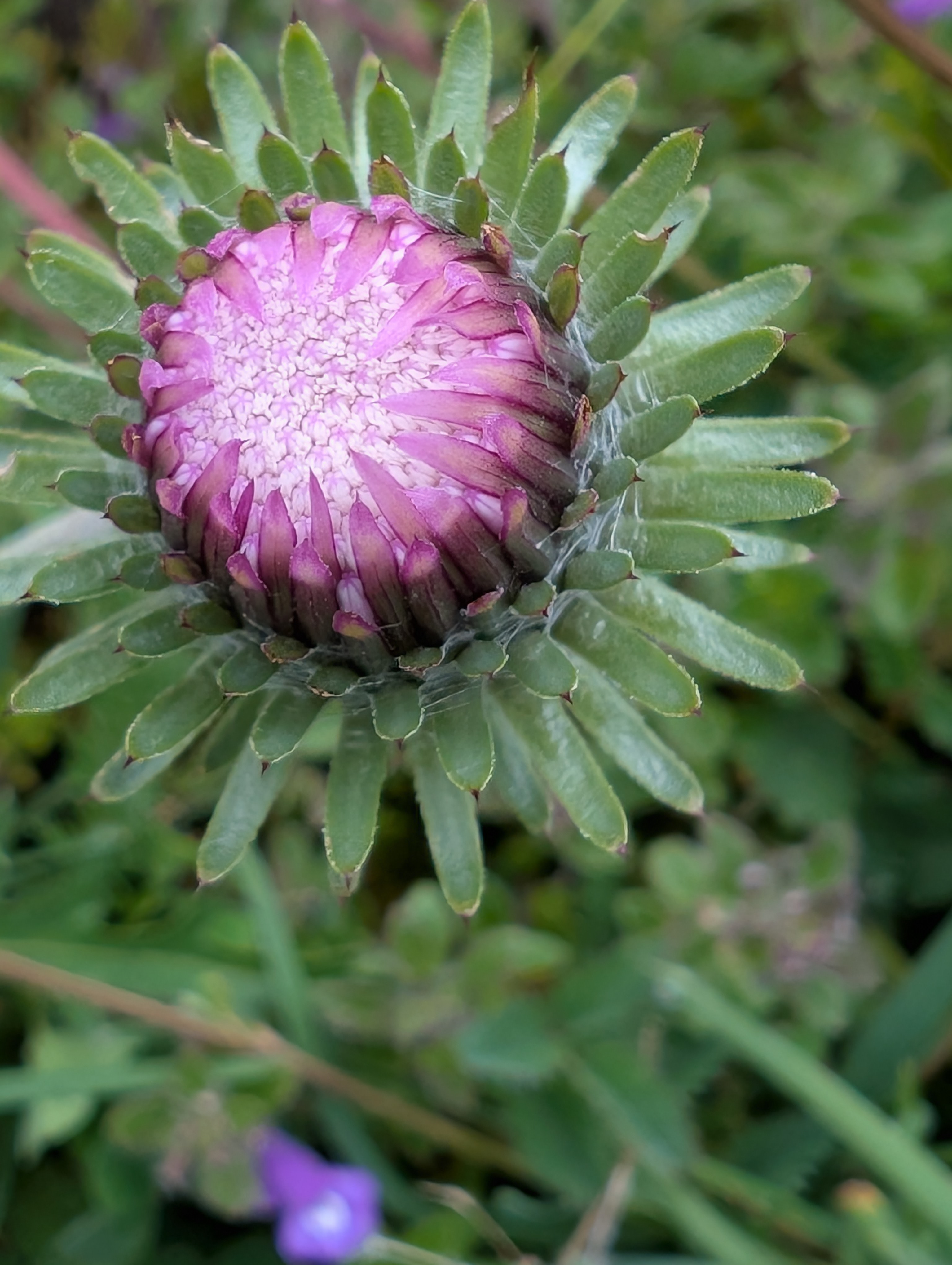
Bilder