Make this Notebook Trusted to load map: File -> Trust Notebook
Biberbrugg - Höhronen - Rothenthurm
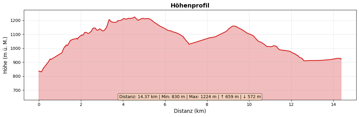
Allgemeine Angaben
| Start | Biberbrugg |
| Ziel | Rothenthurm |
| Strecke | 14.5 km |
| Aufstieg | 660 m |
| Abstieg | 575 m |
| Marschzeit | 4 h 25 |
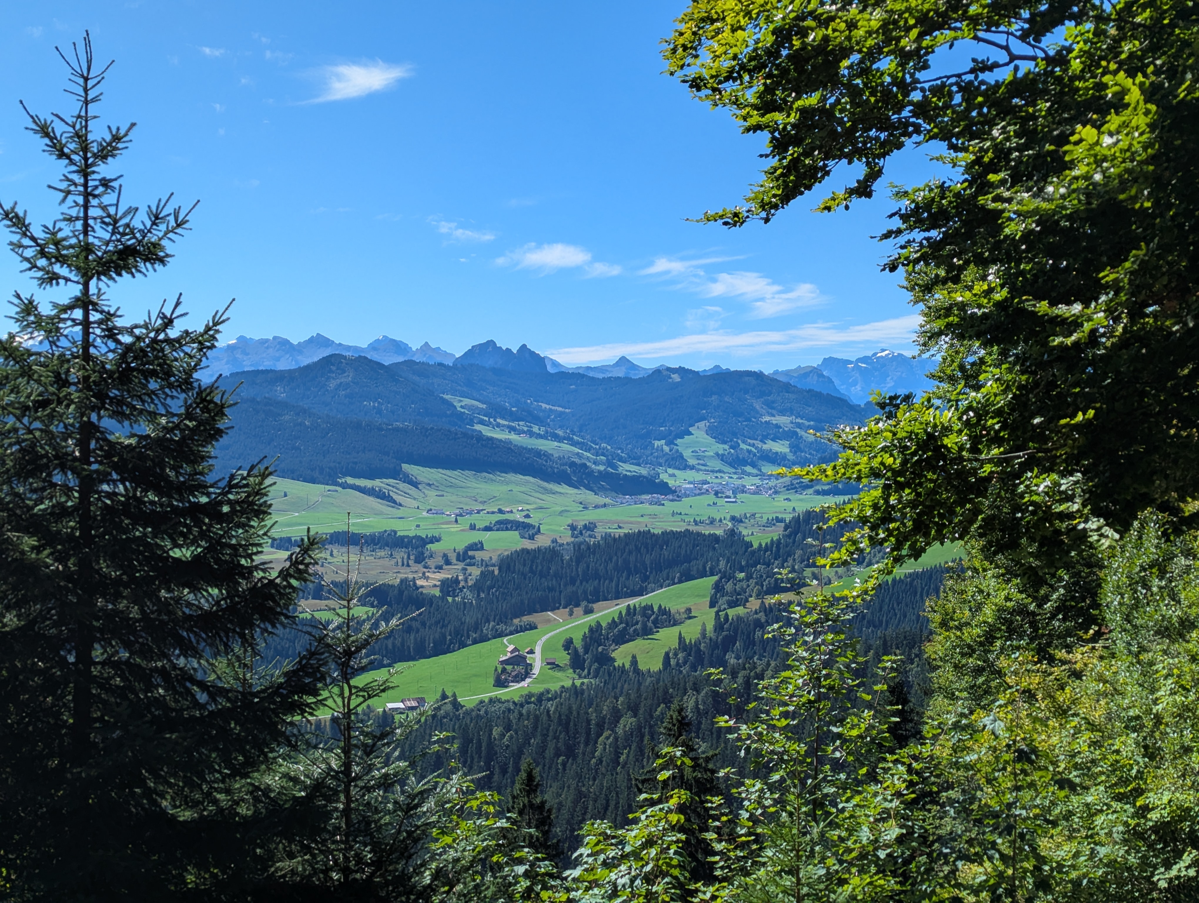
Bilder
Bilder
Die Karte auf der Website von swisstopo.ch oder in der Mobile App von swisstopo öffnen.
Bilder